Action 1.
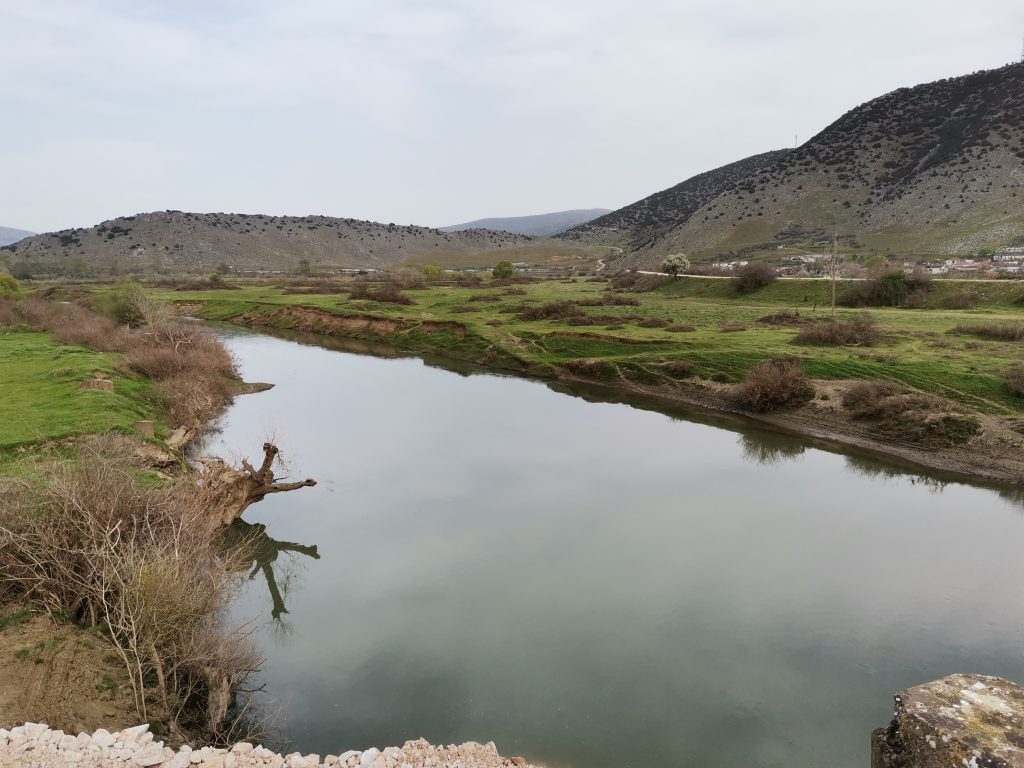
Monitoring of the National Network of Isotopes in Rivers in Greece
Understanding water dynamics and pollution stresses in river catchments is a necessary task for managing efficiently water resources and provide appropriate mitigation and remediation measures.
The project adopts two pilot case study catchments (Evrotas and Pinios) in Greece, and aims to develop a conceptual hydrologic model, through the use of water stable isotope ratios (18O/16O, 2H/1H). It also aims to understand and describe the water mixing processes and interactions between precipitation, surface runoff and groundwater flows. Moreover, nitrate isotope ratios (15N/14N, 18O/16O) will be used to reveal the water pollution origin and the main biogeochemical processes in the study areas, which will allow proper designing of protective measures for the river catchments.
The project includes a systematic sampling programme at representative monitoring sites, where river water samples are collected and analyzed for stable isotopes and other physicochemical parameters.
Hydrological models will complement the in-situ discharge measurements and validate the areas’ conceptual models and water budget estimates. All the above information will be used to prioritize pollution sources and suggest specific management and restoration measures for achieving good water quality status, in the long term. The project’s duration is 3 years and is implemented under the International Atomic Energy Agency’s Global Network of Isotopes in Rivers (GNIR) under contract #24263.
Action 2.
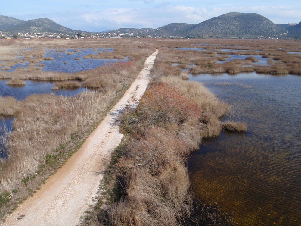
Assessment of water dynamics in Schinias-Marathon coastal wetland and its implications to the local ecosystem
Coastal wetlands are vital for provision of a wide range of ecosystem services, including the support of fauna biodiversity, and thus its protection and the proper management of water resources is crucial for its sustainability.
Schinias-Marathon is a coastal wetland in Greece and a National park, which partly suffered from drought in the past and currently from ecological degradation (fish-kills) due to anthropogenic pressures in the wetland, such as the altered water regime due to the rowing center that was constructed for the Olympic Games in 2004. The wetland is fed by groundwater discharges originating from an upstream spring called Makaria. The rowing center diverted the spring water to two interconnected semi-natural lakes, which recharge the wetland through overflow. The wetland is also close to the sea and thus it is influenced by seawater.
The project will apply isotope techniques to assess water dynamics in the wetland.
Monitoring the isotopic ratios (18O/16O, 2H/1H) of wetland components (rainwater, surface water, groundwater) coupled with radioactive tracers, such as 222Rn, and hydrochemical assessment approaches will result in better understanding of wetland’s function and susceptibility to water deficit due to climate change or anthropogenic activities. The project’s duration is 3 years (2022-2024) and is implemented under the International Atomic Energy Agency’s Coordinated Research Project “Isotopic Assessment of the Impacts of Climatic and Hydrological Changes on Wetland-groundwater Ecosystem Interactions (F33027)” under contract #25029.
Action 3.
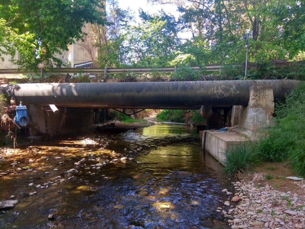
Tracing nitrate sources of pollution in the urbanized catchment of Kifissos River
River waters flowing in urban catchments are susceptible to water quality degradation due to multiple contamination sources. The Kifissos River is an urban river that belongs in a catchment in the western part of Athens metropolitan area.
Almost 70% of the Kifissos River catchment is urban and prone to pollution mainly due to multiple land-uses and its proximity to different pollution sources, such as wastewater discharge points, on-site sanitation systems for domestic and institutional sources, industrial effluent discharge spots, agricultural activities and solid-waste disposal sites. The river receives secondary treated urban wastes and effluents from septic tanks, which have elevated BOD, NO3–, E-coli and other substances of water pollution.
The objective of the project is to apply nitrate isotopes to trace and assess N sources and dynamics in the Kifissos River catchment facing nitrate pollution from multiple anthropogenic activities.
Coupling the isotopic ratios of nitrate (15N/14N, 18O/16O) with hydrochemical assessment approaches and particularly with Compounds of Emerging Concern (CECs) will result in efficacious remediation efforts and measures in the catchment to help meet the objectives of WFD 2000/60/EC. The project’s duration is 3 years (2022-2024) and is implemented under the International Atomic Energy Agency’s Coordinated Research Project “Improving Understanding of Nitrate Sources in Connected River and Groundwater Systems Through Linking Nitrate Isotopes and Contaminants of Emerging Concern (F32010)” under contract #24998.
Action 4.
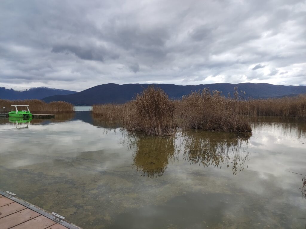
Assessment of the ecological role, functioning and biodiversity values of rivers/streams that flow in Prespa Lakes
The Prespa Lakes (Great and Small Prespa Lakes) are transboundary lakes shared among Balkan countries (Greece, Albania, and North Macedonia).
The catchment area of the Great Prespa Lake is unique with high ecological value (it is protected under international and European legislation – Natura 2000 site, RAMSAR, etc.), while it is hydrologically connected to lake Ohrid and Drin River basin. The Great Prespa Lake is linked to the Small Prespa Lake through a channel.
The project primarily concerns the monitoring on a monthly basis of physicochemical and hydromorphological parameters in the rivers and streams of the Great and Small Prespa lakes’ basins, the installation and operation of automatic water monitoring stations and the evaluation of the respective measurements, in collaboration with the Society for the Protection of Prespa (https://www.spp.gr/). A complementary activity was launched and involves the systematic collection of water samples to be analyzed for isotopic variables (e.g., δ18Ο and δ2Η of H2O) with the aim to investigate the evaporation status and the interaction of the Lakes with the local rivers/streams and groundwater.
HCMR participates by providing technical and scientific advice regarding the evaluation of the above data and writing guidelines for optimal management of the relevant catchment area.
Action 5.
Isotope-Based Assessment of Nutrient Dynamics in the Sperchios River Basin: Tracing Pathways from Inland to Sea (INSPIRES)
Effective water management requires deciphering the interactions between rivers and groundwater, identifying pollution sources, and implementing mitigation measures to preserve ecosystems.
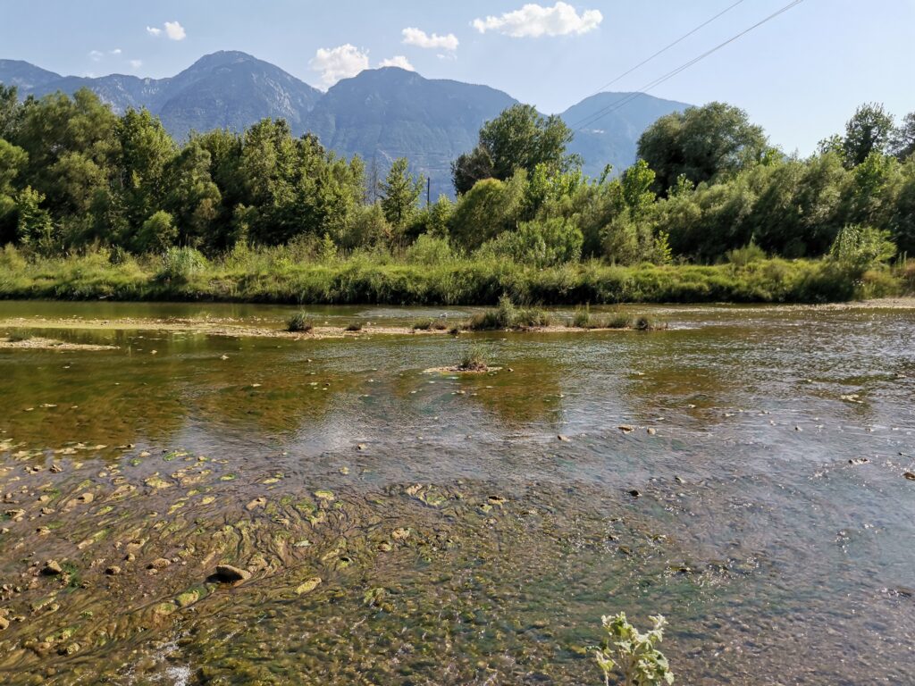
The current activity plans to apply stable isotope hydrology techniques in the Sperchios River catchment with the aim to understand water dynamics and nitrate pollution stresses. The Sperchios River catchment is located in central Greece and suffers from water scarcity and quality degradation due to anthropogenic stresses, mainly related to irrigation and agricultural loadings. Water stable isotope ratios (18O/16O, 2H/1H) are going to be systematically determined in different compartments of the water cycle (precipitation, river water, groundwater) with the objective to better define the mixing processes between them. Tracing of the nitrate pollution sources and the N dynamics in the ecosystem will be achieved by analyzing water samples for nitrate isotope ratios (15N/14N, 18O/16O).
The project is financially supported by the International Atomic Energy Agency (IAEA) under the Coordinated Research Project “Development and Applications of Isotopic Techniques to Assess Nutrient Fluxes from the Land to Sea and Their Link to Eutrophication and Harmful Algal Blooms (Linking nutrient fluxes, eutrophication, and HABs) (F33030)”. The project’s duration is 3 years (2025-2028) and is implemented under contract #29085. The current activity is also complementary to the project Path4Med (https://www.path4med.eu/the-project/), which focuses on advancing sustainable agriculture while safeguarding the health of Mediterranean soils and waters.
Action 6.
Isotope Hydrology Techniques to Assess Water Resources in Kythira Island, Greece
Integrated management of freshwater resources in small islands, particularly those at risk of droughts, floods, and pollution due to the climate crisis, is of critical concern.
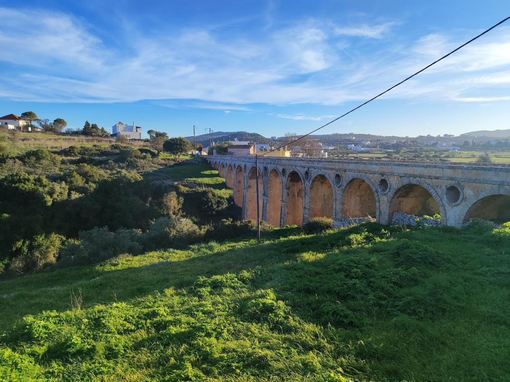
Kythira Island, located in southern Greece, is vulnerable to water scarcity and quality degradation. To address this, the Isotope Hydrology Group of HCMR will employ stable isotope techniques on Kythira to study water dynamics. Specifically, the stable isotope ratios of oxygen (18O/16O) and hydrogen (2H/1H) will be analyzed in surface and groundwater to investigate water interactions and the potential impact of salinization.
This initiative complements the NHSOS project (https://www.nhsos-project.gr/), which focuses on developing expertise, infrastructure, methodologies, and policies to transform Greek islands into “Green” sustainable environments.
